
Hike the Eagle Creek Trail to Punchbowl Falls for a one-of-a-kind Northwest hike
by Haley Childers
Whether you’re a Pacifc Northwest native or just outdoorsy and looking for adventure, the Eagle Creek Trail to Punchbowl Falls is a definite must for the beginning of an adventurous summer. The Trail boasts incomparable views from tall heights that other trails don’t offer. Make sure you make it down to the water for a fun swim at the falls after your hike, and you’ll forget you ever huffed and puffed your way up there!
While you’ll only need to walk about 1 ½ miles in until you reach the break off trail which has a path leading down to the waterfall. The Eagle Creek Trail is actually the trailhead for about 6 other trails. Don’t be surprised if you run into PCT hikers passing through, as the trail ultimately leads to Mexico. Many PCT hikers like to divert from the usual course to take in the powerful views of the Eagle Creek Gorge.
A moderately easy hike, all you’ll need to bring with you is water, some snacks, and if you’ve worked up a sweat getting there, your swim trunks. Don’t forget your GoPro if you have one, as the waterfall at Punchbowl is far from standing ground; you can get some really fun pictures if you dare to swim to it. As for the trail, it would be wise not to bring your young kids with you. It is steep in some places, but the real concern is that there are cliffs on the side of the trail in certain areas, and for that reason it isn’t recommended to bring small children or pets with you.
What is amazing about the trail is that it was built in the early 1900s to preserve parkland areas in the Columbia River Gorge. Workers used dynamite to blast through the rock in certain areas and create the trail. Their work to protect the area from becoming industrialized made it possible for us to have access to incredible views that are incomparable to say the least.
Take caution where you park your car. While the trail is a popular one, it is known that cars are often broken into in the parking lot outside the trail. It is recommended to park in the lower parking lot near the fish hatchery because there is a park host there who supervises the area during the summer. Make sure you do what you can to protect your car: don’t leave any belongings or valuables, take ID information with you, and leave the doors unlocked to insure that the windows don’t get broken in.
Driving Directions to Punchbowl Falls
Eagle Creek Trailhead: Traveling eastbound on I-84, take Exit #41. At the bottom of the ramp turn right. Go about 1/2 mile to the end of the road. You will go past a footbridge (that takes hikers up to Wauna Viewpoint) as the road narrows to one lane. Continue a short ways to a large parking lot; park only in designated spaces. NW Forest Pass required. Coming from the east, there is no westbound exit at Exit #41/Eagle Creek. You must continue on I-84 and get off at Exit #40/Bonneville Dam, get back on the interstate and head east for one mile to Exit #41. At the bottom of the ramp turn right. Go about 1/2 mile to the end of the road. You will go past a footbridge (that takes hikers up to Wauna Viewpoint) as the road narrows to one lane. Continue a short ways to a large parking lot; park only in designated spaces. NW Forest Pass required.

Driving Directions.

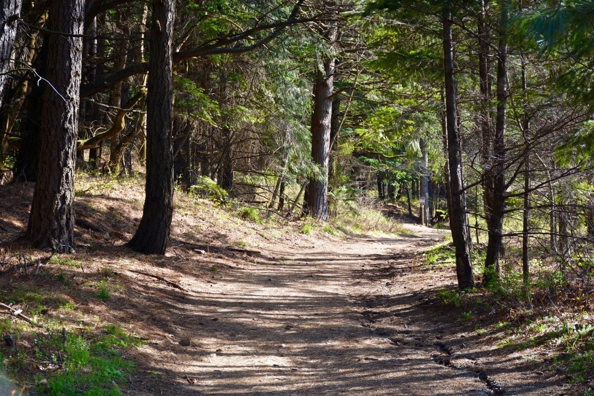
Photo by Haley Childers.

Photo by Haley Childers.

Photo by Haley Childers.


