
Dog Mountain Trail: An Aggressive Hike

Dog Mountain Trail, which begins right off Highway 14 in the Columbia Gorge Scenic Area, is an aggressive hike that is used by many to help with conditioning for runs or longer hikes.
“It took us three hours to do it,” said Steve Hoskisson, of Camas, who hiked the trail recently with his son, Logan. “It doesn’t look hard until you’re in there a bit. We enjoyed it, though.”
Start point: Dog Mountain Trailhead
- End point: Dog Mountain
- Trail Log: Trail Log
- Hike type: Loop
- Distance: 6.9 miles
- Elevation gain: 2800 feet
- Difficulty: Difficult
- Seasons: Spring-Fall
- Family Friendly: No
- Back-packable: No
- Crowded: Yes
This is a popular trail, and the trailhead is known to be crowded at peak seasons. You may want to save time and reserve a shuttle at Stevenson. The schedule is available here: http://www.skamaniacounty.org/TRANSPORTATION/WKND_TRNS.pdf
Hikers recommend taking Dog Mountain during the weekdays or early in the morning on weekends — to avoid crowds.

Dog Mountain Trailhead
Dog Mountain is a popular hike because of its easy access to the Columbia Gorge, breathtaking views, and proximity to the Portland Metro area. But know that looks can be deceiving — the trails are very steep and will require conditioned and healthy hikers. Prime hiking time is Spring through Fall, offering stunning wildflower vistas through June, and beautiful Autumn foliage in October. The easiest part of the hike is the first 1.5 miles up to the lower viewpoint.
At the trailhead, hikers walk along Trail 147 for 0.7 miles to a junction, which then leads to the open forest floor in the lower portion of the trail. The trail offers two options — a more difficult and less difficult route. Hiker have had varying opinions on which is better. You decide what looks best for you.
The trail gets much steeper, and then you will see the summit meadows as you climb. From here, two trails go to the top and create a loop. The main trail veers to the left, towards a meadow known for high Gorge winds. Plan for that.
In about 4/10 of a mile you will pass a signed junction. Continue up, on the right hand trail, which is the Summit Loop Trail. At the top of the meadow, follow a short spur trail to a fire ring and a great location for eating and resting. You can return the same way, or continue southeast on the Summit Loop Trail, which meets the main trail at Puppy Dog Lookout. From Puppy Dog Lookout, you can return to the trailhead.
You may also use Augspurger Trail.
Driving Directions to Dog Mountain
From Carson, drive approximately 9 miles east on State Route 14 to the trail-head, just beyond milepost 53. The parking area and trailhead are on the left (north) side of the highway.

View from the Summit meadows on Dog Mountain Trail.
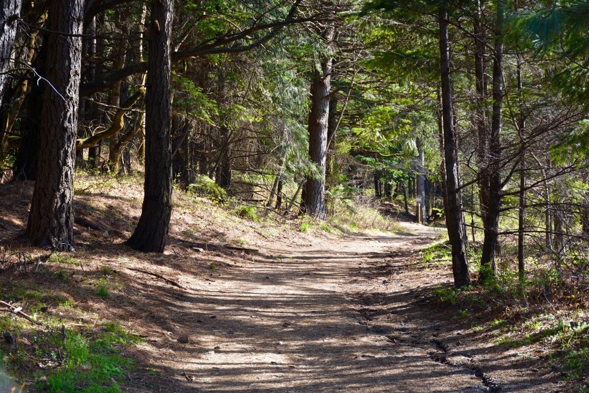
The lower portion of the Dog Mountain Trail.

Map of the Dog Mountain Trail.


Leave a Reply
Want to join the discussion?Feel free to contribute!